Tornadoes and deaths in its wake, powerful winter storm aims at Northeast
Loading...
| New York
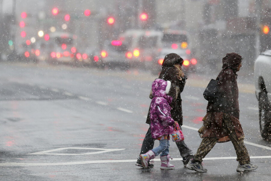
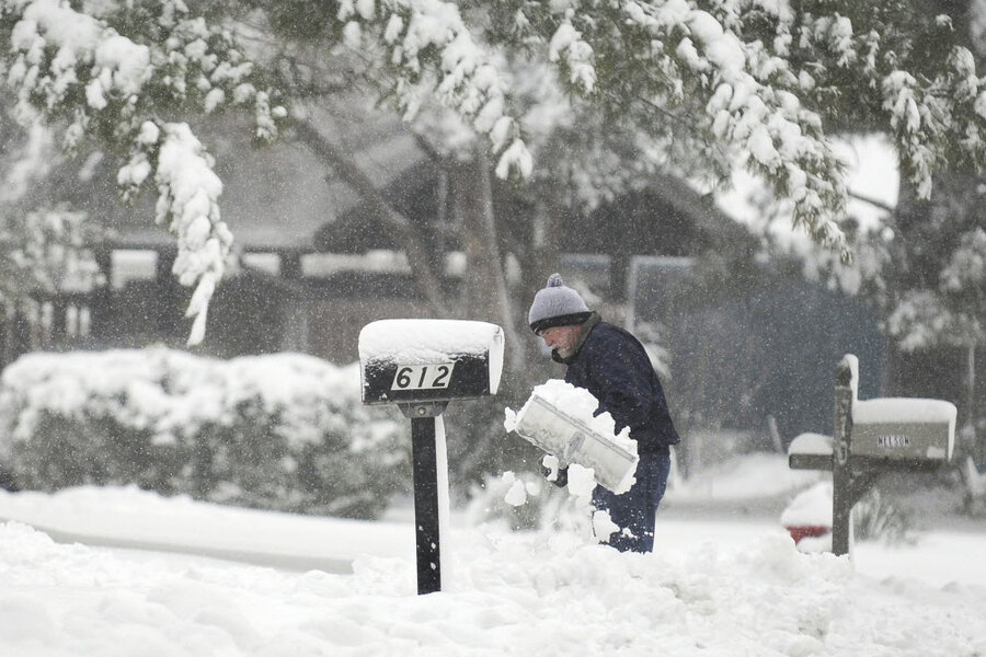
A powerful winter storm that has been blamed for causing six deaths and spawning more than 30 tornadoes is getting ready to dump a significant amount of snow from Cleveland through western New York State and into northern New England.
However, most of the large urban areas will be spared the worst of it – instead getting heavy rain and dangerous winds.
“It will be a stormy night on the East Coast,” says Tom Kines, senior meteorologist at AccuWeather.com in State College, Pa. “The major cities could get wind gusts over 40 miles per hour and along the coast the gusts could be over 50 miles per hour.”
With its strong winds and potential for icing, the storm could lead to power outages, dangerous driving conditions, and lengthy airport delays.
“Definitely with the winds up, there could be some power outages from falling limbs,” says Mark Ressler, lead meteorologist at The Weather Channel in Atlanta. “And, it looks like with all the snow, people could have difficulty getting around for a short period of time.”
Wednesday morning, parts of Indiana were under blizzard warnings. Those conditions were expected to spread into Ohio, Pennsylvania, and western New York State during the day. The extreme conditions are expected in New England by Wednesday night.
“As the storm moves East, it may not meet the criteria for a blizzard, but it will look like a blizzard,” says Mr. Kines. “There will be blowing and drifting snow.”
Many of the cities in the direct path of the storm – including Cleveland, Ohio, Erie, Pa., and Buffalo, N.Y. – can expect up to a foot or more of snow. Rural areas in Vermont and New Hampshire can expect over a foot of the white stuff.
A blog on Cleveland.com reported that heavy snow had already hit the city by 11:15 AM. By 12:19 p.m. John Horton, author of the Plain Dealer’s Road Rant column was reporting that traffic was at a standstill and that every half mile cars were sliding off I-90, a major expressway.
The deteriorating weather in the east was starting to cause significant air traffic delays. According to the Federal Aviation Administration’s web site, flights in and out of Philadelphia were delayed an average of 2 hours and 40 minutes, and one and a half hours at John F. Kennedy Airport in New York.
“The whole North East corridor is going down the tubes as we speak,” says Mr. Ressler during an interview at about noon. “A lot of flights are going to be cancelled.”
Cities on the south side of the storm faced violent weather including tornadoes, which were blamed for three deaths. According to Kines on Tuesday there were 34 tornado reports and 75 reports of damaging winds. Some of that weather shifted over to eastern North Carolina on Wednesday afternoon.
Three more deaths were attributed to accidents on snow-slickened roads.
As the system scoots to the Northeast it will be packing a powerful wind field. Along the coast the winds will be out of the east or northeast. This could result in some coastal flooding.
However, Mr. Kines says residents are not likely to have to evacuate like they did from superstorm Sandy.
“The highest winds are at low tide this evening,” he says. “And, I think if they had a chance to build back the sand dunes they should be able to protect the beach communities.”
“The water won’t pile up like Sandy,” he says since the heavy winds will only last for about six or seven hours compared to several days for Sandy, which took place at the end of October.
The next storm is expected to hit the east late Friday or early Saturday. However, Ressler says it will be moving fast and is not likely to result in a major snowfall.
And looking ahead to New Year’s Eve, the nation could be relatively peaceful – as far as the weather is concerned. There could be some rain in southern California and in parts of Texas. “But, a lot of the country is going to be relatively quiet,” predicts Ressler.


