Snow storm snarls Midwest: Is US facing another extreme winter?
Loading...
| Atlanta
The driving early snowstorms and piercing cold winds blasting the Midwest, South, and East Coast – throwing commutes, air traffic, and football schedules into chaos – are the result of poorly understood atmospheric dynamics that may upset predictions of a milder winter for the eastern half of the US.
Scientists at the University of Wisconsin in Madison are among those trying to understand the mysterious interplay between Pacific and North Atlantic weather phenomena that threaten to dunk the Eastern US into a second year in a row of 1970s-style blizzards and cold snaps.
"At this point, this winter looks similar to last winter," says Jonathan Martin, an atmospheric scientist at Wisconsin. "The next question is, why does it look similar, and we're currently not in a position to say definitely what's going on. There are some interrelationships between big pieces of circulation anomaly that feed into one another, including an anomalous pattern over Greenland that's tied into convection in the tropical Pacific Ocean."
Scientists speculate that heat released from storms racing up the US East Coast toward the Labrador Sea may be feeding the so-called North Atlantic Oscillation – nicknamed "The Greenland Block" – in ways that are not yet understood. The region of high pressure over Greenland has pushed huge troughs of Canadian air into the US, causing the fifth biggest snow storm on record in Minneapolis over the weekend and now threatening Orlando, Fla., with 20 degree F temperatures.
The atmospheric upset has had the opposite effect on parts of the West, where cities like Long Beach, Calif., and Phoenix saw record high temperatures Monday.
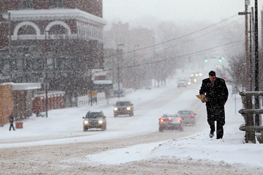
The snow storm snarled US air traffic in the Midwest, shut down dozens of school districts, including Minneapolis and St. Paul, and led to major commuting problems across the region. The storm played a role in at least six deaths and sparked the first weather-related rescheduling of an NFL football game since hurricane Katrina hit New Orleans in 2005 when the inflatable roof of the Minneapolis Metrodome collapsed early Sunday morning under the weight of two feet of snow.
Last winter, the US reported snow coverage in nearly all 50 states in December. That anomaly led to unusual January freezes in the South and several "Snowmageddon" events in the mid-Atlantic, all of which Accuweather meteoreologist Joe Bastardi likened to "the great winters of the '60s and '70s."
Mr. Bastardi predicted earlier this fall that the East Coast will "be granted a reprieve" from the kind of major storms that buffeted the region last winter. In fact, he noted that a fast start to winter in the East could lead to a major thaw in January.
Meteorologists have also predicted greater-than-normal swings between the season's coldest and hottest days, creating what Mr. Bastardi dubbed "The Wintry Battle Zone."
But the pre-Christmas "snow blitz" in the upper Midwest, added to the near-zero wind chills in the South, continue to confound atmospheric scientists like Mr. Martin, who is not keen to make a call on how the Winter of 2011 will pan out.
"Given our level of ignorance about what's going on, we don't want to compound that with a level of arrogance by saying we know what's going to happen in a month," he says.


