Hurricane Danny intensifies into Category 3: What does that mean?
Loading...
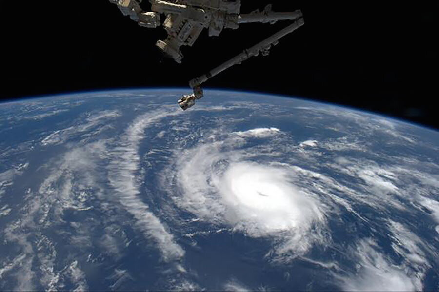
Hurricane Danny was promoted to a potentially destructive Category 3 storm, with winds reaching up to 115 miles per hour on Friday, according to the US National Hurricane Center (NHC).
The first hurricane of the 2015 Atlantic Season, Danny has been relatively small and far from land.
It will dwindle back into a tropical storm as it nears the outer Caribbean islands early next week, making its way towards Puerto Rico and the island of Hispaniola, according to the NHC’s five-day forecast.
Forecasters measure potential property damage from a hurricane with a 1-5 rating based on sustained wind speed, known as the Saffir-Simpson Hurricane Wind Scale.
Storms reaching Category 3 and higher are considered “major” hurricanes with winds between 111 and 129 mph that could cause significant loss of life and damage.
Described as a “tiny” hurricane before it reached level 3, Danny’s winds extended a mere 15 miles from its center this morning.
It’s the fourth named storm in what is expected to be a rather calm 2015 hurricane season, running from June 1 until Nov. 30.
Yet that doesn’t mean the 6-10 upcoming storms won’t be that powerful.
Scientists warn that previous quieter-than-average seasons brought some of the most devastating storms in history, such as 1992’s hurricane Andrew, a Category 5 storm that tore through south Florida with sustained winds above 157 mph.
The current El Niño weather phenomenon is one of the factors behind the expected tame hurricane season. El Niño is a periodic warming of the Pacific Ocean that affects wind circulation patterns and weather worldwide. It lessens the likelihood of hurricanes forming in the Atlantic-Caribbean basin.
Last week, the Climate Prediction Center raised the probability of El Niño lasting until early spring in the Northern Hemisphere to 85 percent.
This report contains material from Reuters.


