What's causing the Australia flooding
Loading...
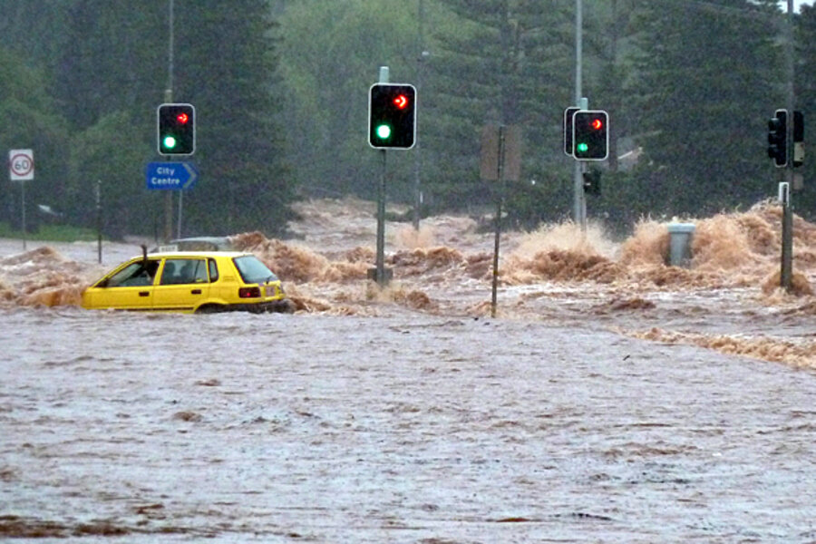
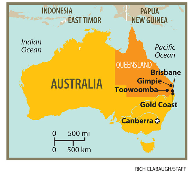
What's the primary cause of the Australia flooding, which now covers an area the size of France and Germany combined and has caused an estimated $6 billion in economic damage? The La Niña ocean-atmosphere phenomenon in the Pacific.
During El Niño, sea surface temperatures become warmer than normal. During the lesser-known weather pattern of La Niña, sea surface temperatures become cooler than normal.
Although La Niña is a regular event that climatologists saw coming months in advance, it would be a mistake to think its arrival allows climatologists to predict specific weather events, says Rupa Kumar Kolli of the United Nations World Meteorological Organization.
Both El Niño and La Niña are naturally occurring events that represent extremes in weather and occasionally wreak havoc on human population centers. Australia and Indonesia often see drought during El Niño, while La Niña typically causes higher rainfall there.
"In a general climatological sense, La Niña is always associated with very active rainfall conditions," Dr. Kolli, chief of the World Climate Applications and Services Division, says in a telephone interview from Geneva. "But it won’t tell you exactly at what time of the season there will be very heavy rainfall. It helps people at being prepared, but you cannot use that information to take specific action in terms of a specific flood event."
Moreover, he says, La Niña is only one of the many contributors to the heavy rain now hitting eastern Australia.
"The severity of the impact can be different," he says. "La Niña is not the only factor that causes the active rainfall conditions. We need to investigate with more detailed data on exactly what happened [in Australia]."
Another factor could be record-high global temperatures. Last year tied with 1998 as the warmest year on record, according to the US National Oceanic and Atmospheric Administration.
David Karoly from Melbourne University told The Sydney Morning Herald that "it's the strongest La Niña in recorded history … [but] we also have record-high ocean temperatures in northern Australia, which means more moisture evaporating into the air. And that means lots of heavy rain."
The last La Niña event occurred in 2007, but the current sea surface temperatures have not been seen in decades. The tropical Pacific Ocean is registering surface temperatures up to 4°C (7°F) below normal, which is comparable to the La Niña event of 1988, according to Australia's Bureau of Meteorology.
"La Niña periods are generally associated with above normal winter, spring, and summer rainfall, particularly over eastern and northern Australia. The current event has contributed to 2010 being Australia's the third wettest year on record, and Queensland having its wettest December on record," the bureau said in a Jan. 5 statement on its website.
The bureau said that major climate models predict that sea surface temperatures in the tropical Pacific Ocean will remain at levels typical of a La Niña event throughout the first quarter of 2011.
In an explainer on the weather pattern, the US National Oceanic and Atmospheric Administration says, “The system oscillates between warm (El Niño) to neutral (or cold La Niña) conditions with an on average every three to four years."


