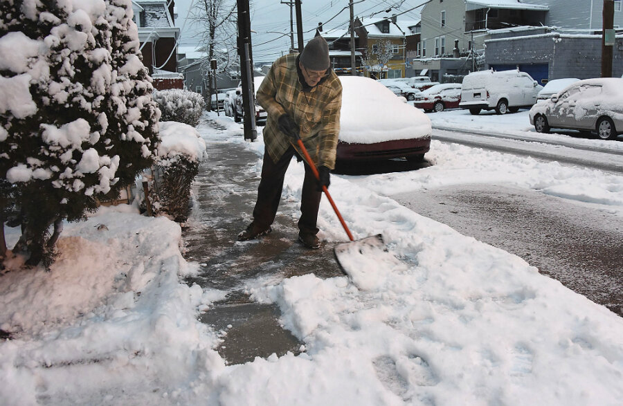
Just how big is New England's first major storm of 2017?
Loading...
Many in the Northeast were caught off guard today as Wednesday's balmy spring-like temperatures suddenly gave way to blizzard conditions.
A powerful, fast-moving winter storm swept over the northeastern United States on Thursday, blanketing an area from Pennsylvania to Maine. Some areas may receive more than a foot of snow by the storm is expected to end Thursday evening, causing accidents, delays, and closures throughout the region.
"Right now for the Boston metro area we're looking at 12 to 16 inches by the time everything is said and done," Alan Dunham, a meteorologist with the National Weather Service in Taunton, Massachusetts told Reuters.
His estimate largely aligned with the New England forecast of 12 to 18 inches issued in the morning before the storm began.
More than 100 crashes were reported during the morning commute in New Jersey, and the snowfall is expected to continue into the evening rush hour, at least in Boston.
"Travel is going to be extremely dangerous. When it comes down at 2 to 3 inches per hour it's hard for the plows to keep up," Mr. Dunham said.
Officials encouraged people to stay inside as much as possible, and keep off the slippery roads. "We urge people to stay indoors and don't get in your car unless you absolutely have to," Connecticut governor Dannel Malloy said.
To keep people at home, many government operations were put on hold, including Maine’s state legislature and government offices in Massachusetts and Connecticut, where only emergency workers were expected to come to work.
Hundreds of schools closed as well, including Boston and Philadelphia, as well as the nation’s largest public school system in New York City, which was likely welcome news to many of its more than 1 million schoolchildren.
In addition to roads, the storm threw air traffic into disarray, too, with almost 3,000 flights canceled nationwide, according to Flightaware.com. Less than half of the flights into or out of New York’s LaGuardia Airport, Newark International Airport in New Jersey, and Boston’s Logan International airport were able to make it out.
In addition to whiteout blizzard conditions dropping up to four inches an hour, some areas experienced violent pockets of “thundersnow” – a thunderstorm with heavy snow replacing the typical rain. Governor Malloy reported witnessing some before a morning briefing, and the term trended on Twitter for much of the day.
But it doesn’t seem like this nor’easter will be setting any records, much to the relief of Bostonians who’ve been pummeled in recent years.
It would need to dump just about 20 inches to break into the top 10 heaviest storms of all time, and over two feet to best Juno and Marcus from the snowpocalypse of 2015, according to Weather.com. That year was Boston's snowiest on record, with more than 110 inches falling throughout the season.
The storm may be trouble for commuters, but it’s good news for ski fans, who’ve been disappointed with the until-now mild winter.
This report contains materials from Reuters and the Associated Press.


