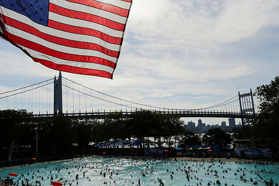
'Heat dome' over United States shows no signs of lifting soon
Loading...
The brutal heat wave felt around the country for the past week shows no sign of letting up, with the worst yet to come, meteorologists say.
Excessive heat warnings will continue in parts of the country, including Philadelphia, where the Democratic National Convention (DNC) will be held this week. Temperatures there are expected to peak as the convention kicks off on Monday, with a heat index of 108 degrees Fahrenheit.
Meteorologists say the phenomenon is the result of a "dome" of high pressure that's affecting most of the US, contributing to drought conditions in the Northeast and wildfires in California.
"A heat dome occurs when high pressure in the upper atmosphere acts as a lid, preventing hot air from escaping," the National Oceanic and Atmospheric Administration (NOAA) wrote in a warning last week. "The air is forced to sink back to the surface, warming even further on the way. This phenomenon will result in dangerously hot temperatures."
With high temperatures come anticipated thunderstorms. In Philadelphia, Mayor Jim Kenney, a Democrat, announced in a press conference Sunday that demonstrations at the DNC will be put on hold during thunderstorms because of safety concerns.
Despite the weather, protesters braved temperatures in the mid 90s on Monday to march in Philadelphia, as the city's fire department handed out bottled water. At least one woman taking part in the demonstrations had to be carried to an ambulance via stretcher, ABC News reports.
Meanwhile, while the Midwest also suffers through extreme heat, temperatures have not been "record-breaking heat by any stretch," but hovering around the 80s and 90s in most areas, National Weather Service meteorologist Andrew Krein told the Associated Press. "The only thing is it is the warmest it's been this summer, so in that respect people may not be prepared for it."
The high humidity creating the feeling of triple-digit temperatures results from moisture from the Gulf of Mexico, he said, along with another, more unlikely culprit: corn.
"Corn is a very effective transporter of moisture from the ground into the atmosphere," Mr. Krein explained. That moisture is then blown into more urban areas, such as Chicago.
This particular heat wave is especially dangerous due to its "very high overnight lows," according to NOAA. The agency advises people in affected areas to stay indoors and out of the sun as much as possible.
This report contains material from the Associated Press.


