Florida braces for tropical storm Erika. Could it become a hurricane?
Loading...
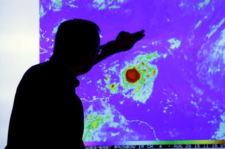
Tropical storm Erika approached Puerto Rico and the US Virgin Islands on Thursday, providing much-needed rain to the eastern Caribbean, and setting a course that heightened vigilance in South Florida.
The storm was expected to near South Florida by Monday, according to James Franklin, chief hurricane forecaster at the Miami-based center, but its intensity was still uncertain. Computer models for the storm remain spread out, keeping forecasters guessing.
"We don't know how much of the storm will be left," he said, adding that it faces strong upper-level westerly winds in the next two to three days.
The Florida State Emergency Operations Center was partially activated on Wednesday as officials monitored the advancing storm. The state has not had to contend with a major hurricane since Wilma struck in October 2005.
In Puerto Rico, residents shuttered schools, government offices, and businesses across the region, while officials warned of flash flooding because of extremely dry conditions caused by the worst drought to hit the Caribbean in recent years. Puerto Rico Gov. Alejandro García Padilla said in a press conference early Thursday that the storm could bring badly needed rains to the parched US territory.
"We're happy given the dry conditions, but it does highlight the need to be on alert," he said, adding that heavy downpours could lead to flash floods.
Erika is expected to produce 3 to 5 inches of rain across portions of the Leeward Islands, the Virgin Islands, Puerto Rico, and the Dominican Republic through Friday.
Tropical storm warnings are in effect for Puerto Rico, the Virgin Islands, St. Martin, St. Barthélemy, Montserrat, Antigua and Barbuda, St. Kitts and Nevis, Anguilla, Saba and St. Eustatius.
The 2015 Atlantic hurricane season is projected to be quieter than usual, with six to 10 named storms predicted, and up to four reaching hurricane status of winds at or topping 74 miles per hour, according to the US government. The severity of this year's El Niño weather phenomenon, which is the warming of Pacific waters that affects wind circulation patterns, and makes the formation of hurricanes in the Atlantic-Caribbean basin less likely, is a primary factor in such predictions.
But officials warn there is precedent for calmer-than-average hurricane seasons to bear the most destructive storms, like oft-cited Hurricane Andrew, that wreaked havoc in south Florida in 1992.
Elsewhere, in the Pacific, Ignacio reached hurricane status with the storm's maximum sustained winds increasing on Thursday morning to 85 mph. Hurricane Ignacio was centered about 1,205 miles east-southeast of Hilo, Hawaii, and was moving west-northwest near 13 mph.
Tropical storm Jimena also formed in the Pacific, with maximum sustained winds near 40 mph, and forecasted to strengthen to a hurricane Friday. Jimena was centered about 845 miles south-southwest of the southern tip of Mexico's Baja California peninsula.
This report contains material from the Associated Press and Reuters.


