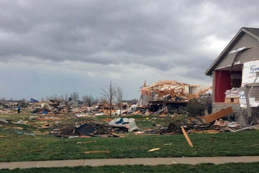
Midwest tornado: Powerful storm heads east from Great Lakes
Loading...
A powerful, fast-moving storm swirling across the Great Lakes region triggered morning tornado warnings in parts of southern Wisconsin and central Illinois on Sunday, part of a system expected to bring unusually severe November weather to much of the eastern US from Sunday afternoon through early Monday morning.
By noon Sunday, forecasters already had received their first report of a tornado, which touched down near Peoria, Ill., while nearly two hours earlier, warnings had been posted for an area just south of Milwaukee.
Tornado watches extended from a region around Missouri's boot heel to cover virtually all of Illinois, Indiana, the southern half of Michigan's “mitten,” and parts of Ohio and Wisconsin.
While this area was expected to bear the brunt of the risk for long-track tornadoes, forecasters with the National Weather Service's Storm Prediction Center in Norman, Okla., cautioned that the extensive system is bringing an increased likelihood of thunderstorms and damaging winds from eastern Texas and western Arkansas, Missouri, and Iowa to the eastern seaboard.
The area at an elevated risk for intense thunderstorms stretched north and east from the Lower Mississippi and Ohio River Valleys to encompass all or part of 23 states, from Mississippi, Tennessee, and West Virginia to coastal New York, New Jersey, and into southern New England.
“The dangerous weather system has the potential to be extremely deadly and destructive. We urge people in the threat areas to get ready now,” said Laura Furgione, deputy director of the National Weather Service during a briefing Sunday morning Central time.
The sense of urgency was driven as much by the storm system's speed as by the expected intensity of the rain, hail, winds, and tornadoes it is forecast to spawn. The system is traveling eastward at 60 miles an hour.
“People need to monitor the situation extremely closely,” even if it seems as through the storms are still a ways off, said Russell Schneider, director of the Storm Prediction Center.
Weather service officials urged people to monitor the weather via radio, TV, or NOAA's weather-radio system and take shelter immediately if their local forecast office issued a tornado warning.
Such large, intense storm systems in November for the affected regions are relatively rare, noted Bill Bunting, who heads the Storm Prediction Center's forecast branch.
Still, he added, this marks the third time since 1998 that forecasters at the Storm Prediction Center have issued such an extensive hazardous-weather advisory for the region at this time of the year.
During Veterans Day weekend in 2002, a storm system barreled across the eastern US that spawned 76 tornadoes in addition to hundreds of reports of damaging winds, according to the National Weather Service's official report of the event. The tornadoes killed 36 people and by one estimate inflicted more than $160 million in damage.
Three years later, another outbreak occurred in the region on Nov. 15, triggering 49 tornadoes, more than 150 reports of damaging winds, and one fatality, Mr. Bunting said.
Sunday's storm system erupted as a powerful low-pressure high above the surface interacted with another low pressure system at the surface that was sweeping warm, moist air into the eastern US from the Gulf of Mexico. This provides the warmth and moisture that can fuel the formation of thunderstorms. Wind speeds at 20,000 feet were topping 130 miles an hour.
The strong difference in wind speed and direction between the upper-level system and the surface low set up conditions “that are very, very favorable for storms to acquire rotating updrafts that produce an enhanced risk of tornadoes,” Bunting said.


