Nor'easter moving up East Coast: Can Sandy survivors dodge more damage?
Loading...
| Atlanta
The Red Cross rushed 80,000 blankets into parts of New York and New Jersey devastated by superstorm Sandy ahead of another potential threat: a surf-pounding, snow-carrying, cold-blasting nor’easter heading toward populations still huddling in darkness.
Forecasting the exact impact of the nor’easter as it lumbers up the Atlantic coast is a delicate task, the National Weather Service says. So far, the storm has made wobbles both east and west, raising cautious optimism that it may stay far enough offshore to spare storm-wrecked beach towns and boroughs from more major damage.
"Under normal conditions [a nor’easter] wouldn't be that problematic,” New York Gov. Andrew Cuomo (D) said. “This is complicated because this is a storm that would approach before we have recovered from the first storm.”
While the storm is expected to bring up to 60 mile-per-hour gusts and a three-foot storm surge – enough to bring about minor flooding in already hard-hit areas – rain and snowfall probably won’t be significant, weather experts say.
Forming off the coast of South Carolina, the storm “is now forecast to be weaker and move farther offshore than originally forecast, resulting in lower impacts to the New Jersey and New York coasts than originally feared,” writes meteorologist Jeff Masters on the website Weather Underground. “While the storm will slow down recovery efforts from Hurricane Sandy, this is a pretty ordinary Nor'easter of the type the Northeast sees several times per year, and will not cause major damage.”
Indeed, even if the storm shifts back toward the coast between Tuesday and expected landfall midday Wednesday, major coastal flooding will still be unlikely given that winds, in that case, would be coming from the north instead of northeast, according to the National Weather Service. The more easterly the winds, the higher the chances for localized flooding, especially in flooded areas where beach defenses were wrecked by Sandy.
Nor’easters are blustery coastal storms that usually batter the Atlantic coast with northeasterly winds. While rain, snow, and winds can persist for days, the storms rarely build enough strength to push water against the coast through multiple tidal cycles, which is what brought on the massive flooding last week.
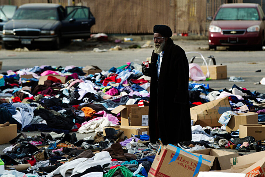
The nor’easter is taking aim at some of America’s most populous areas, which were also affected by the historic superstorm that killed at least 111 people, 49 of them in and around New York City. Nearly 1 million people primarily in New York and New Jersey are still without power, and gasoline and even water have at times been in short supply as the region struggles to get back to normal.
The Federal Emergency Management Agency says it has paid for temporary hotel rooms to provide warmth and shelter for 34,000 people, and it is now working on what could be a major and difficult undertaking: finding more permanent shelter for thousands as winter temperatures and weather begin to grip the region in earnest.
Despite the nor’easter’s changing track, several New Jersey townships and island towns once again ordered evacuations as coastal storm watches were posted, raising concerns that already-compromised properties could endure more damage – including freezing pipes as temperatures are set to plummet.
The storm’s prevarications mean that the following impacts are possible for the stretch of coast between the Delmarva Peninsula up through southern New England:
Waves: 6 to 10 feet. Winds: north to northeast, 20 to 35 miles per hour, with potential 60 mile-per-hour gusts. Tides: 7.5 to 8 feet above mean low water in places.
No matter the likelihood of damage, the storm “won’t be pleasant, especially for those displaced by the hurricane and for workers struggling to clear downed trees and put Staten Island's municipal infrastructure back together,” writes Michael Dominowksi in the Staten Island Advance, which covers one of the New York boroughs hardest hit by last week’s storm.


