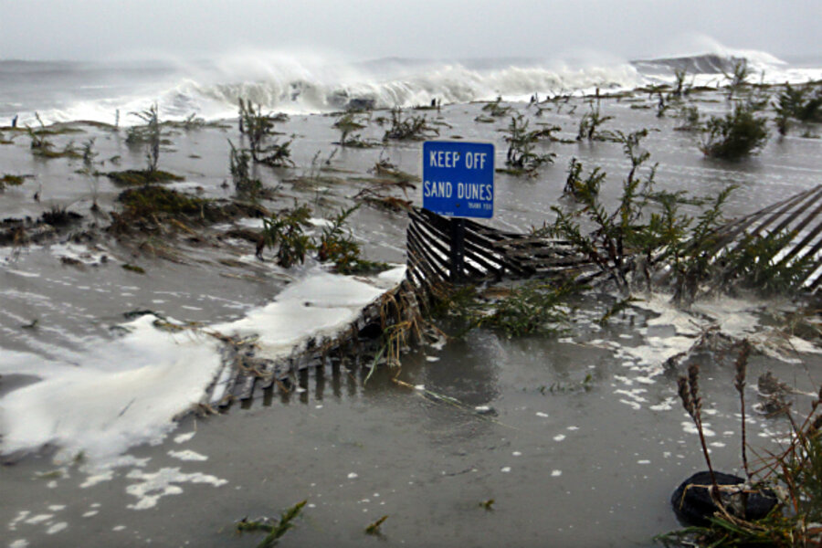
Tracking hurricane Sandy: As storm 'zigs,' it's also changing dramatically
Loading...
With hurricane Sandy on final approach to formally making landfall near the southern tip of New Jersey late Monday evening, the storm is on the verge of an unusual shift.
Even as it makes a left turn to head toward the coast, it also is swapping energy sources to become an extratropical cyclone.
Such transitions occur several times a year to typhoons in the western Pacific, notes Clifford Mass, an atmospheric scientist at the University of Washington at Seattle, in an e-mail exchange.
"But to have it occur over the western Atlantic and then to recurve inland with such a major effect is extraordinary," Dr. Mass adds.
The shift from tropical to extratropical tends to intensify the storm for a period, as well as redistribute winds and rainfall in ways that can shift the regions most heavily affected by wind and rain.
In Sandy's case, such changes already have been factored into forecasts from the National Hurricane Center and local National Weather Service forecast offices in the eastern US.
Indeed the hurricane's vast size – tropical-storm-force winds extend up to 420 nautical miles from Sandy's center – has prompted federal officials to warn people not to focus on where the storm makes landfall because the areas affected by coastal surges, heavy rains, and high wind remain extensive.
Indeed, the full range of winds associated with Sandy spans a diameter of more than 1,000 miles.
Sandy intensified slightly Monday morning as it passed over a sliver of warm water associated with the Gulf Stream. Atmospheric pressure at the center of Sandy – a key measure of the storm's strength – has hit a low of 27.85 inches, or 943 millibars. If Sandy retains that reading, or it drops further, at landfall, the location would go into the record books as experiencing the lowest barometric pressure of any spot in the US north of Cape Hatteras, according to data compiled by the Weather Underground.
The previous record, 946 millibars, was set in 1938 at Bellport Coast Guard Station on Long Island during an infamous hurricane that crossed Long Island and slammed into New England.
As of 11:00 a.m., the center of Sandy was located some 213 miles southeast of Cape May, N.J.
Sandy's pending shift to an extratropical cyclone comes as the storm trades heat sources.
Tropical storms and hurricanes draw their energy from warm seawater in the tropics. The water evaporates and rises. As the water vapor rises, cools, and condenses to form the storm clouds, the heat needed to evaporate the water in the first place returns to the atmosphere. The heat reinforces the cloud-building process, especially at the storm's core. Thus, warm cores are the hallmark of tropical cyclones.
Outside the tropics, extratropical cyclones are large-scale low-pressure systems that bring the typical storms that travel across mid and high latitudes. These storms draw their energy from the contrast in temperature between warm air moving north from the tropics and cold air coming down from the north.
Hurricane Sandy is slated to merge with an extratropical cyclone as it makes landfall, with its core gradually shifting from warm to cold, as it changes heat sources from ocean water to the atmosphere itself.
This shift can have a profound change in the location of rain and winds in the storm, forecasters say. With tropical cyclones, surface winds reach their highest speeds closest to the core, and to the right of its center as seen from above the storm. Rainfall in a tropical cyclone appears in pinwheel-like bands spreading out from the core.
As the storm goes extratropical, maximum winds can appear far from the storm's center. And the most intense rain tends to migrate to a large patch to the left of the storm's track, while the highest winds and waves tend to appear to the right of the track.
Moreover, a tropical cyclone working its way through the merger with another storm can strengthen for a time, feeding off of heat brought by the extratropical cyclone it's joining.
Once Sandy makes landfall, forecasters expect the storm to weaken rapidly. The center of the system is projected to work its way north through Pennsylvania and New York through Thursday morning, then head northeast through Quebec and out into the Gulf of St. Lawrence over the weekend.


