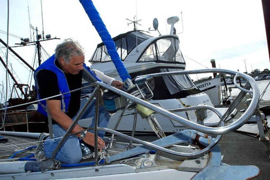
Japan tsunami a wake-up call for US west coast
Loading...
Japan’s massive earthquake and tsunami is alerting the US west coast that the same kind of thing could happen here. In fact, say experts who study the earth’s shifting crust, the “big one” may be past due.
Both Japan and the Pacific Northwest lie along subduction zones – areas where tectonic plates push against each other. When the growing pressure finally gives way, earthquakes and related tsunamis result.
The Cascadia subduction zone (“Cascadia fault”) is where the Juan de Fuca and North America plates meet – sometimes in violent confrontation. It’s part of the “ring of fire” – volcanoes and earthquakes surrounding the Pacific Ocean. The Cascade Mountain Range – which includes Mount St. Helens – is volcanically active.
IN PICTURES: Japan's 8.9 earthquake
The last time a “big one” of the type Japan saw Friday occurred along the northwest coast was on Jan 26, 1700. Judging by the number of times that’s happened over the past 10,000 years, some scientists think another one is due this century.
“It has happened in the past. It will happen in the future,” Portland State University geology professor Scott Burns told KPTV in Portland, Oregon.
“It would be devastating,” said professor Burns. “There would be a lot of damage.”
The Pacific Northwest is dotted with tsunami warning devices that could give people the critical few minutes needed to reach higher ground. But in many areas, building codes and construction have not advanced to the extent they have in Japan.
“We’re getting better about people taking this stuff seriously,” Robert Butler, a geophysicist at the University of Portland, told The Columbian newspaper in Vancouver, Wash. “I credit the 2004 tsunami in the Indian Ocean for a step-up in awareness.”
For now, communities and government agencies are responding to the damages caused along parts of the west coast by the tsunami that raced at high speed across the Pacific Ocean from Japan.
That included some $15 million in damages to Santa Cruz harbor south of San Francisco, caused by two rolling surges that occurred about three hours apart Friday morning. An estimated 30-40 boats were damaged or destroyed.
Some areas were evacuated, portions of coastal highways were closed, and some schools were closed. Gov. Jerry Brown has declared a state of emergency for Del Norte, Humboldt, San Mateo, and Santa Cruz counties in California.
In all, it was the worst tsunami damage along the west coast since the 1964 Good Friday 9.2 earthquake in Alaska, which triggered a tsunami that killed 17 people, 11 of them in Crescent City, near the Oregon border.
In Crescent City this time, there was considerable damage to port facilities, an 8-foot wave destroyed 35 boats, and one man was swept out to sea and apparently lost. Three other sight-seers were injured in the waves.
Crescent City seems to be the tsunami capital of the continental United States, having experienced 31 over the past century. Why is it so vulnerable to tsunamis?
“Apparently the main culprit is the Mendocino Fracture Zone, an underwater elevation extending westward that guides tsunamis into deeper water, where they pick up speed as they approach the mainland,” writes Timothy Noah in Slate. “The West Coast's topography around Crescent City curves inland, which intensifies a tsunami's effect, and the shoreline of Crescent City itself is (as the name suggests) a curve within that curve.”
Just north of the California-Oregon border, the town of Brookings saw half its harbor facility destroyed and up to 10 boats sunk, according to the Associated Press.


