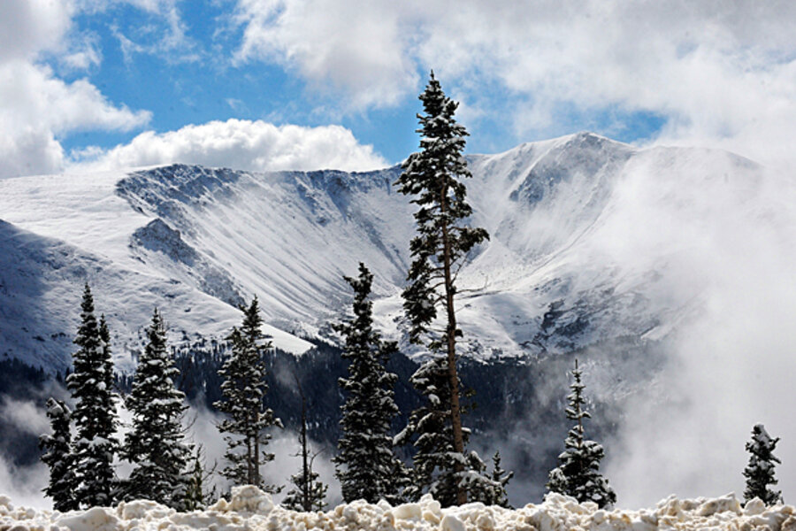
Ready for winter? In the South, you may not need to be.
Loading...
| New York
If you live in Chicago, Detroit and Buffalo, you probably ought to make sure the snowblower is in tip-top shape for the winter. But, if you live south of I-40, which runs from Barstow, Calif., to Wilmington, N.C., you may not need to put away your swimsuit. And if you live in between: It will be more like a normal winter.
On Thursday, meteorologists from both private forecaster AccuWeather.com as well as the National Oceanic and Atmospheric Administration (NOAA) issued their forecasts calling for “extremes” for the US this winter.
“The weather is going to be schizophrenic,” predicts Joe Bastardi, chief long-range forecaster for AccuWeather, based in State College, Pa. “We will see extremes in the North and West and we will see a lot of warm weather in the Southeast.”
Places such as Washington, D.C., and Philadelphia that had blizzard after blizzard last year may just get ready for a more normal winter.
“The South and especially the District of Columbia will get a break compared to last winter,” predicts Mr. Bastardi. “Their snow-fighting budgets will get a break.”
Northeast forecast is iffy
The forecast is more iffy for places like New York and Boston. Bastardi says those cities will be right on the border between snow and rain events. But by winter’s end, he says, Boston and New York will have a “normal” winter.
Normal for Boston, he says, may mean 35 to 40 inches of snow this year and temperatures about one degree above normal, which is 31.8 degrees. “It will be a normal winter for New England, but they never have easy winters,” he says.
NOAA, for its part, says the winter forecast for New England and the Mid-Atlantic will depend on what happens in the north Atlantic Ocean and the Arctic. As a result, NOAA says, weather events for those regions can be predicted only about a week in advance.
However, Bastardi forecasts that the start of winter for people living in the East will seem like a replay of last year. Temperatures will plunge starting in November. In fact, if hurricane Richard moves up the East Coast next week, a strong cold front will follow, possibly depositing snow in the Appalachian Mountains.
La Niña replaces El Niño
Behind the winter forecasts is a La Niña event that is taking place in the eastern Pacific Ocean. “La Niña is associated with cooler than normal water temperatures in the Equatorial Pacific Ocean, unlike El Niño, which is associated with warmer than normal water temperature,” says NOAA in its forecast.
Last year, North America’s wacky weather was influenced by El Niño. “Although La Niña is the opposite of El Niño, it also has the potential to bring weather extremes to parts of the nation,” says NOAA.
The La Niña effect for some parts of the nation is not good. For example, California is expected to be warmer and drier than normal. This could lead to water shortages next summer and forest fire issues as well. The Pacific Northwest, which will be colder and wetter than normal, normally can use the water for hydroelectric purposes and recreation, but may face flooding and avalanche issues, says NOAA. And Florida, where it will be warmer and drier than normal, could also face wildfire problems.
By January and February, Bastardi predicts, winter in the Northeast will begin to fade and it could be warmer than November and December.
“Some real funky things are going to happen,” he predicts.


