Hurricane Earl path: evacuation of Ocracoke Island, watch in Virginia
Loading...
Hurricane warnings have been posted for much of the North Carolina coast, and a hurricane watch has been issued for the Virginia and Maryland coasts as hurricane Earl prepares to begin its flirtation with the US Eastern Seaboard.
Current forecast tracks have hurricane Earl's path swirling past Cape Hatteras Thursday night and into Friday morning. In such forecasts, it would be a "major" hurricane, one whose maximum sustained winds top 110 miles an hour. The storm, currently a Category 3 hurricane, is packing maximum sustained winds of 125 miles an hour.
If the current track holds, the center of the storm is expected to skirt Cape Cod Friday night and make landfall Saturday on the southern tip of Nova Scotia.
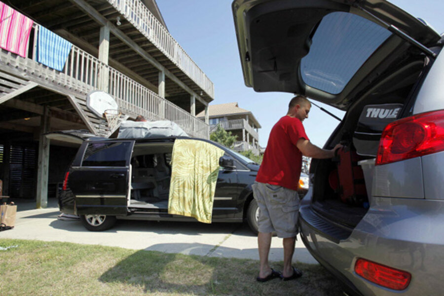
Officials in North Carolina have ordered the evacuation of Cape Hatteras, as well as Ocracoke Island – both popular summer-vacation spots. Virginia, meanwhile, is under a low-level hurricane watch, rather than a warning. Nevertheless, Gov. Bob McDonnell (R) has declared a state of emergency to give officials time to put people and supplies in locations that would allow for the fastest response to any damage, as well as anticipate evacuations.
His early response highlights the challenge that Earl – one of the most powerful storms to threaten the East Coast since hurricane Bob in 1991 – presents as it pirouettes its way along the coast.
The goal is to have evacuations complete by the time tropical-storm-force winds arrive at a given location, explains Craig Fugate, head of the Federal Emergency Management Agency (FEMA) in Washington. Otherwise, evacuations across causeways or high bridges connecting barrier islands with the mainland become quite dangerous.
If a tropical cyclone makes landfall head-on, forecasters can narrow their estimates of the swath of coast in need of watches or warnings. In this scenario, local officials who are deciding whether to issue evacuation orders have the small luxury of extra time to see how well a landfall forecast is holding up.
But when a storm such as Earl is traveling along the coast, planners don't have that luxury. If local managers fail to call for an evacuation early enough, "the risk they have is that they would not be able to complete an evacuation if the track is a little farther west," Mr. Fugate says.
FEMA response teams have been moving into mid-Atlantic and New England states quickly in anticipation of Earl's approach.
The biggest concern for coastal areas centers on storm surge, emergency-management officials say, as well as on dangerous surf conditions – even if Earl keeps its distance. Farther inland, officials say they are concerned about the potential for widespread power failures.
Earl is expected to move up the coast at a brisk pace, so any intense rainfall inland is likely to be short-lived, according to National Hurricane Center director Bill Read. But, he adds, the combination of high winds and the weight of rain-soaked trees laden with leaves could lead to large number of downed limbs.
Even as the East Coast prepares for Earl, forecasters also are watching tropical storm Fiona, as well as a new tropical depression that emerged Wednesday in the central tropical Atlantic.
Tropical-storm warnings have been issued for the islands of St. Martin and St. Barthelemy, east of Puerto Rico. After those areas, Fiona is expected to swing north and stay well to the east of Earl's path. If the current forecast holds, Fiona faces demotion to a tropical depression sometime early Sunday.


