Google Earth data suggests Russia shelled Ukraine, say researchers
Loading...
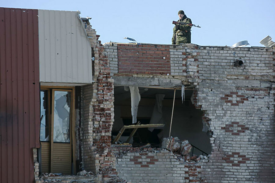
A new report suggests that Russia shelled Ukrainian towns from inside Russian territory.
The British-based investigative reporting group the Bellingcat Team, says that its research into a series of artillery strikes during the summer of 2014 implicate the Russian military with firing artillery rounds into Ukraine.
Bellingcat used publicly available satellite imagery from Google Earth to look at reported artillery strikes from between July 9 and September 5 of last year. During this period, the Ukrainian military lost control of swaths of its border territory.
The first battle in question occurred near the town of Amvrosiivka on July 14, where Ukrainian forces reported 330 artillery strikes, according to the Bellingcat Report. The other two battles observed took place on July 14 and July 16.
Part of the evidence Bellingcat discovered were a series of burn marks on the earth that would indicate multiple rocket launchers had been installed just inside Russian territory near the village of Seleznev, some nine miles away, from the same day’s images that featured the first strike from July 14. In the satellite images taken before the attacks, there were no such burn marks at the alleged launch sites, according to the report.
The location of the burn marks matches the trajectory of the artillery rounds the Bellingcat Team had determined using established military calculations that involve evaluating the type of crater the armament leaves, according to the report. The Bellingcat Team analyzed two different types of craters. One kind, they say, is caused by low-angle rounds that cause a diagonal spray of the earth from the center upon impact. The other kind is caused by a high angle impact, which leaves a triangular shaped crater. From these craters, the investigators concluded that the artillery fire had come from a south-south west trajectory, pointing them to the alleged firing position.
The Russian government has maintained for the entirety of the conflict that its military forces have not participated in any of the fighting. But this latest revelation seems to make the strongest case so far of Russian involvement, reports the Guardian. In August 2014, the Guardian reported that a column of Russian-plated armored personnel carriers had crossed the border into Ukraine.
The next battle analyzed by Bellingcat took place in the Ukrainian region of Chervonopartyzansk. There, Ukrainian forces came under a heavy artillery barrage between July 14 and August 8, and when the team applied the same method to the more than 800 craters, they discovered five separate possible firing positions. Four of them were on Russian soil. Scorched earth was observed at these possible sites, as well as tire tracks, another possible sign of mobile artillery.
Using satellite imagery for calculating artillery trajectory based on crater depth is an imperfect science at best, and this alone would not be enough to prove Russian involvement. But the visible evidence of burned farmland that match with the calculations that place the rocket launchers inside Russian territory make for a compelling case, notes the Guardian.
Stephen Johnson, a weapons expert at the Cranfield Forensic Institute at the Defense Academy of the United Kingdom told the Guardian, calculating artillery trajectory using only satellite imagery is, “highly experimental and prone to inaccuracy.”
“This does not mean there is no value to the method, but that any results must be considered with caution and require corroboration,” Mr. Johnson told the Guardian. He also added that the most significant part of the report was the discovery of the purported firing positions.


