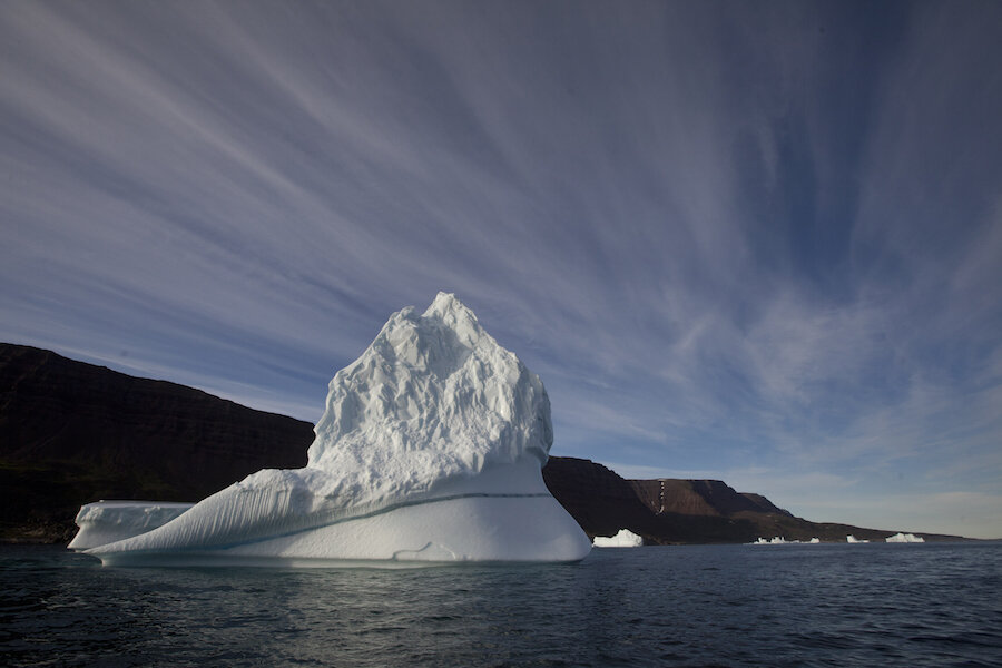
Greenland's early ice melt breaks records. What's behind the thaw?
Loading...
Summer came early for the Greenland ice sheet, and its has scientists worried.
On Monday, an early melt event had scientists from the Danish Meteorological Institute (DMI) puzzling over whether their climate models were showing accurate readings or had stopped working. Based on the models, more than 12 percent of Greenland’s massive ice sheet experienced at least 1 millimeter of ice melt.
For perspective, before Monday the three earliest dates for an area melt of over 10 percent of the Greenland ice sheet had been in May (May 5, 2010, May 8, 2006, and May 8, 1990). The recent melt broke the record by almost a month.
“Even weather stations quite high up on the ice sheet observed very high temperatures on Monday,” said Robert Fausto, a scientist with the Geological Survey of Denmark and Greenland, in a report on Danish research site Polar Portal.
Temperatures across the massive ice sheet varied. The scientists saw some observation sites detecting temps of over 50 degrees Fahrenheit, while most averaged between 41 and 50 degrees. One station, more than 6,000 feet above sea level, captured a maximum temperature of 37.58 degrees degrees Fahrenheit.
“This would be a warm day in July, never mind April,” Dr. Fausto added.
So, what caused the warm day? There could be more than one answer.
Scientists with the DMI likened to the event to a mass melt event in 2012, where 95 percent of the Greenland Ice Sheet was experiencing at least 1 millimeter of melt. The suspected cause of both melts is “warm air advected from the SW bringing rain along the coast.”
But a new study released earlier this month suggests there may be more activity causing ice melt in Greenland below the surface.
“Our reconstruction of the present-day thermal regime of the GIS reveals more extensive areas of GF-induced basal ice melt than previously recognized and introduces the possibility that a dense network of subglacial meltwater pathways, most of which spring from the zone affected the history of the Iceland hotspot, is now operating beneath the ice,” the study concludes.
In other words, natural geothermal hot spots under Greenland could be enhancing the ice melt in the area.
Another study published in January also discovered a previously unknown link between cloud coverage and the amount of ice that refreezes after a warm day. Increased cloud coverage, especially at night, could be having a substantial impact on the amount of ice melting in Greenland, The Christian Science Monitor’s Story Hinckley reported.
The result: Increased melting of the Greenland ice sheet could aid sea level rise and reduce the amount of sunlight and heat the ice sheets reflect back.
Additionally, data published in early April suggests the melting of ice sheets is contributing to a shift in the Earth’s axis. Since 2000, there has been a noticeable shift in the direction of the polar drift, which scientists attribute to the loss of ice sheets, the Monitor’s Jason Thomson reported last week.
Fortunately, weather predictions from forecasters with the DMI expect the situation over Greenland to cool and the melt to end this week, but there is potential for another melt again on Thursday, especially to the south of the island.
“It is a very unusual situation, especially so early in the year,” Martin Stendel, a climate scientist at DMI, explained in the report.
[Editor's note: Due to an editing error, an earlier version misstated one of the temperatures.]


