When will Mount Rainier erupt again? Magma study offers clues.
Loading...
| Seattle
Experts have mapped a huge magma reservoir below Mount Rainier in Washington state that begins melting deep in the Earth's mantle before pushing upwards to where it will eventually be tapped for eruption.
Researchers from the United States and Norway used seismic imaging and the measurement of variations in electrical and magnetic fields to create a detailed road map of the pathway molten rock takes to the surface.
Their findings, published this week in the journal Nature, are aimed at helping experts understand the volcano's inner workings, and eventually determine when it might again erupt.
A state landmark, Mount Rainier last erupted in the 19th century. It is widely expected to erupt again, according to the U.S. National Park Service.
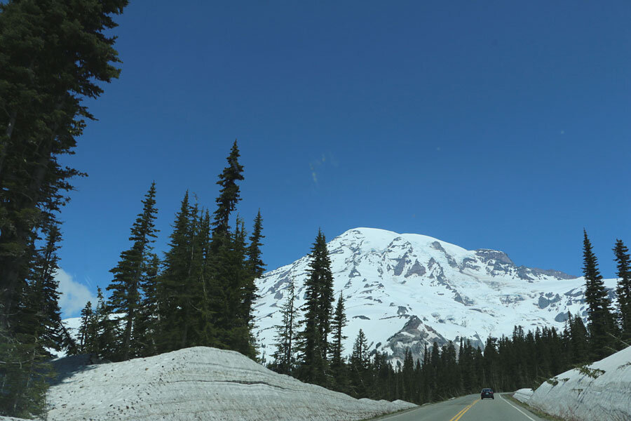
The tallest volcano and fifth-highest peak in the contiguous United States, it towers some 14,410-feet (4,392 meters) about 58 miles (93 km) southeast of Seattle, from most of which it is visible.
Phil Wannamaker, a geophysicist at the University of Utah, said the new images were most detailed to date, but that they did not provide any information on the timing of future eruptions by Mount Rainier or other Cascade Range volcanoes.
The volcano's magma forms deep in the Earth's mantle, the layer between the planet's crust and its core. The magma, which is fluid molten rock, then flows upwards to a pool about five miles (8 km) below the peak, the study found.
The pool appears to be about 5 to 10 miles (8 km to 16 km) thick and the same width, the researchers said.
(Reporting by Victoria Cavaliere; Editing by Daniel Wallis and Eric Walsh)


