Indonesia tsunami and volcano: why the region is so violent
Loading...
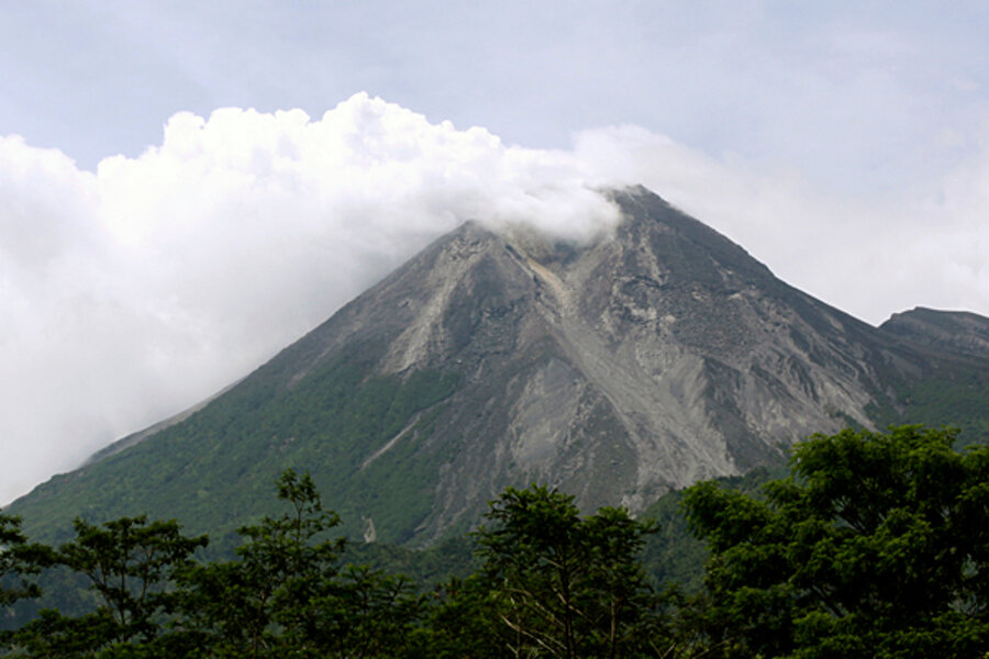
A day after a magnitude 7.7 earthquake struck off the west coast of Indonesia's island of Sumatra, generating a tsunami that relief officials say killed at least 113 people, the island's Mt. Merapi erupted Tuesday.
Eighteen people have died in the initial outburst of gas, steam, and ash from the 9,700-foot-tall cone. Volcano specialists on the island say that while they can't rule out another, more violent eruption, the event could keep going as a series of small outbursts, similar to Tuesday's.
"If it continues like this for a while, we are looking at a slow, long eruption," said Gede Suantika, a researcher with the Volcanological Survey of Indonesia, in an interview with the Associated Press.
IN PICTURES: Merapi volcano erupts
Indonesians once again are having to cope with the hazards of living on a geologically restless archipelago.
Like Alaska's volcano-dotted Aleutian Islands, Indonesia's islands lie along a deep-sea trench -- an undersea boundary between two enormous plates in Earth's crust.
In Indonesia's case, the denser crust of the Australian plate is diving beneath the more buoyant crust of the Eurasian plate, forming the Sunda Trench. Friction between the plates heats rock to the melting point, supplying the magma that wells up to form the volcanoes that dot the islands – and triggering the earthquakes.
Similar subduction zones encircle the Pacific, earning the chains of volcanoes that stretch from the Andes to the western Pacific the collective moniker Ring of Fire.
Monday's quake generated a 10-foot tsunami that struck the Mentawai islands, just off the Sumatran coast. The general region has been keeping some seismologists awake at night because it also contains a section of the subduction zone that has been building strain for more than 200 years. If that strain was to be released in one event, the quake would top magnitude 8.5, a so-called great earthquake.
The section is centered under the island of Siberut, off the Sumatran coastal city of Padang. In September 2009, a magnitude 7.6 earthquake struck just offshore from Padang. At first glance, it seemed to fit a pattern of quakes of similar magnitude that have occurred along other sections of the coast since 2004 – when a magnitude 9.1 quake ruptured the subduction zone off northern Sumatra, killing an estimated 231,000 people directly or indirectly through tsunamis that spread throughout the Indian Ocean basin.
Some researchers say they suspect that the series of somewhat weaker quakes represents the subduction zone readjusting itself to changes in stress patterns established by the ’04 quake. If that were to be the case for the Padang earthquake, the event could reduce the likelihood of a great quake at that location anytime soon.
But according to a team of seismologists from Britain and Indonesia who have worked in the region, the ’09 quake had virtually no effect in reducing the strain that has been building for some 200 years.
Writing in the journal Nature Geoscience in January, the team warned that the danger of a quake greater than magnitude 8.5 remained along the segment under Padang.
Any hope that Monday's quake might help ease the strain is likely to be misplaced. Based on preliminary information about the location and depth of the rupture, the quake appears to have been too far away to affect the strain accumulation near Padang, explains Belle Philibosian, a graduate student at the California Institute of Technology in Pasadena who is studying the region's seismic hazards.


