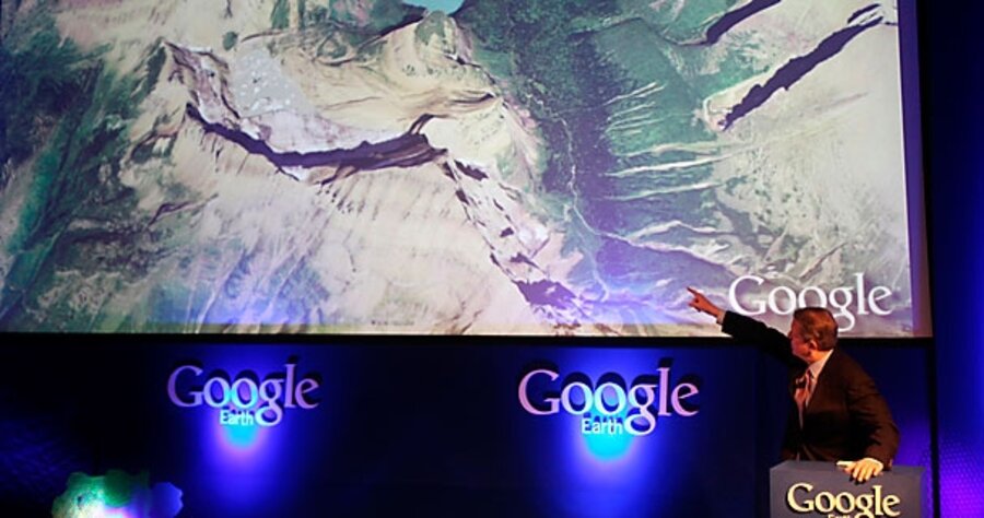
Google Earth maps the oceans
Loading...
It began three years ago with a chance meeting in Spain between the legendary oceanographer Sylvia Earle and John Hanke, the director of Google Earth, the company's free virtual globe software.
"John, when are you going to finish it?" asked Ms. Earle, "You should call Google Earth 'Google Dirt.'"
After that, Mr. Hanke and his team got to work mapping the remaining 70 percent of the planet's surface. The result: Google Earth 5.0, which became available on Monday.
On the Official Google Blog, Hanke writes:
We have always had a big blue expanse and some low-resolution shading to suggest depth. But starting today we have a much more detailed bathymetric map (the ocean floor), so you can actually drop below the surface and explore the nooks and crannies of the seafloor in 3D. While you're there you can explore thousands of data points including videos and images of ocean life, details on the best surf spots, logs of real ocean expeditions, and much more.
The "much more" includes shipwrecks, sea surface temperature data, maps of Marine Protected Areas, so-called dead zones, wildlife tracking data, chlorophyll levels, old Jacques Cousteau videos, and much more. One favorite is a feature that allows you to track Arctic sea ice extent from 1979 to 2008.
To gather all this data, Google turned to a host of ocean scientists and environmental advocacy groups, including the Cousteau Society, the International Union for Conservation of Nature, the Monterey Bay Aquarium, the National Geographic Society, the National Oceanic and Atmospheric Administration, the New England Aquarium, the Scripps Institution of Oceanography, the Virginia Institute of Marine Science, and the Woods Hole Oceanographic Institution, to name a few.
Conservationists praised the software's potential to boost public support. The New York Times's Andrew Revkin quotes Barbara Block, a marine biologist at Stanford University:
“We cannot as a community conserve what we cannot see,” Dr. Block said. “We’ve worked with the Monterey Bay Aquarium for years to put giant bluefin and white sharks on display, and if we’re lucky 2 million people a year come and see the animals and discover their color, beauty of motion, and form. With the Google oceans feature, we potentially can reach hundreds of millions.”
A press release from the Geneva-based International Union for Conservation of Nature, which compiles the world's most comprehensive listing of the conservation status of plants and animals, quotes Carl Gustaf Lundin, who heads the organization's Global Marine Programme.
“With ‘Ocean in Google Earth’ everybody can see the unbelievable beauty of our marine life and how incredibly threatened it is."
Other features in this latest release of Google Earth include the ability to view historical map data, to create narrated, sharable tours, and to view the terrain of Mars.


