Ice caps not shrinking as much as once thought, new data show
Loading...
Through most of the last decade, mountain glaciers and ice caps around the globe collectively lost 148 billion tons of ice a year, according to new satellite measurements.
Although significant, the rate is some 30 percent lower than previous studies have suggested, according to the scientists performing the analysis.
Those losses, which do not include losses from thick ice sheets covering Greenland and Antarctica, contributed about 0.41 millimeters a year to sea-level rise, according to the study.
Mountain glaciers and ice caps represent a major source of fresh water for hundreds of millions of people worldwide.
“The Earth is losing an incredible amount of ice to the oceans annually,” notes John Wahr, a physicist at the University of Colorado at Boulder and a member of the team reporting the results in Thursday's issue of the journal Nature.
The losses coincide with the global average temperatures that turned the first decade of the 21st century into the warmest decade in the instrument record.
Most atmospheric scientists attribute the climate's current long-term warming trend at least in part to a build-up of greenhouse gases in the atmosphere, mainly carbon-dioxide. The buildup of CO2 comes from burning fossil fuels, as well as from land-use changes.
“These new results will help us answer important questions in terms of both sea-level rise and how the planet's cold regions are responding to global change,” Dr. Wahr said in a prepared statement.
Retreating mountain glaciers have become among the most prominent icons of global warming.
“The good news here is that they are not losing mass as quickly as we thought,” says Ian Howat, a glacier and ice-sheet specialist at Ohio State University's Byrd Polar Research Center in Columbus, Ohio. “The bad news is that while we're not losing mass from ice caps and glaciers as quickly, we're still not gaining it anywhere.”
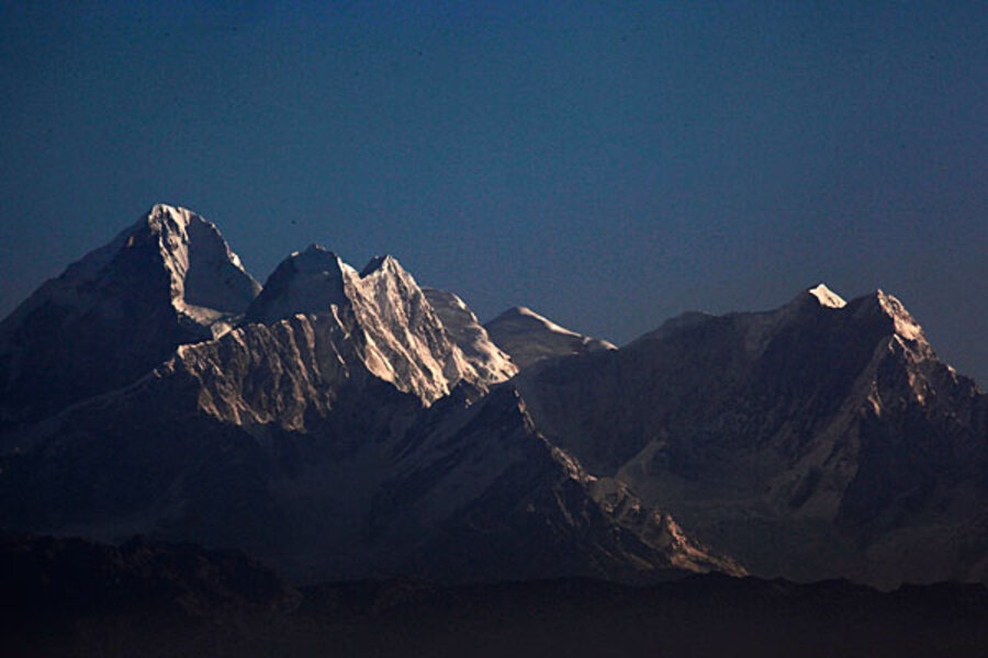
Global figures during the 2003-2010 study period mask wide regional differences. The research team, led by Thomas Jacob, currently with France's Bureau de Recherches Géologiques et Minières, the French counterpart to the US Geological Survey, found the most significant rates of decline in Alaska, the Canadian Arctic, Iceland, and Patagonia.
Why have the global loss rates fallen? Previous studies relied largely on measurements taken on site and by aircraft at a relative handful of the world's 200,000 glaciers and ice caps. Scientists used those measurements to estimate changes over an entire mountain range.
In effect, Dr. Jacob's team measured changes in the weight of the glaciers and ice caps all over the globe with NASA's GRACE satellites, Dr. Howat explains.
The GRACE mission, launched in 2002, consists of a pair orbiters that detect subtle changes in Earth's gravity as they pass over mountains, plains, and even underground aquifers – features that add to or subtract from the planet's mass over a given spot.
The satellites orbit Earth 16 times a day, with one trailing 135 miles behind the other. As the twins encounter a change in the planet's mass, they experience a change in Earth's gravity. The relative speed between the two spacecraft changes as first one, then the other, encounters the change in gravity. So the distance between the two craft changes.
Scientists can measure this to within a tiny fraction of the width of a human hair. That distance serves as the basis for calculating the mass of the feature the orbiters detected.
The precision measurements over seven years allowed the team to track monthly changes in ice mass over all the continents while zeroing in on fairly small patches of landscape compared with previous measurements.
This increased detail provided the study's biggest surprise: Loss rates for the Himalayas, Tien Shan, and Pamir ranges in Asia amounted to only about 10 percent of previous estimates.
Howat notes that the reason the rate fell so dramatically is that losses previously attributed to mountain glaciers actually represent groundwater lost to agriculture and industrial activity in regions of India bordering the mountains. GRACE measurements can zero in on spatial scales small enough to tell the difference between the two.
Although the study focuses on the contribution mountain glaciers and ice caps make to rates of sea-level rise, the team also included accelerating losses from Greenland and Antarctica in a final set of calculations. They found that their combined ice-lose rates yielded a rate of sea-level rise comparable to previous studies.
The researchers note that the measurements represent a snapshot of activity; the data make no predictions. But used as a reality check on climate models, the results could help improve forecasts of glacier activity in a warming climate.
Given the importance of tacking ice mass to estimates of sea-level rise and to the availability of fresh water, researchers are looking forward to the launch of a replacement set of satellites, currently penciled in for 2016. The current pair, initially slated for a five-year mission, are well into overtime. The hope is that they will last long enough to overlap with the new pair to allow for continuous measurements.


